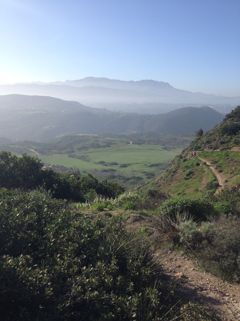
The critters moved too fast for me to get a good picture. They were a pair and I hadn’t seen these fauna before. The sighting was early 2015 in one of the trails out of the Satwiwa area.
Archive | April 2015
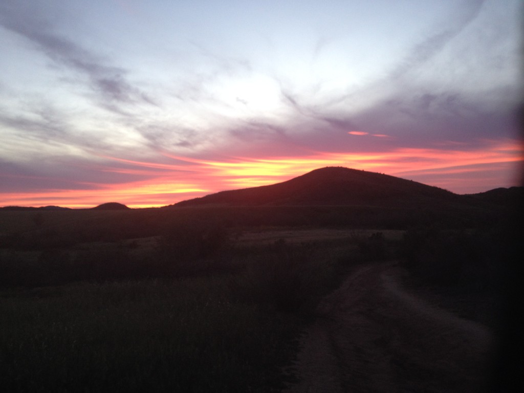
Anonymous Sunset
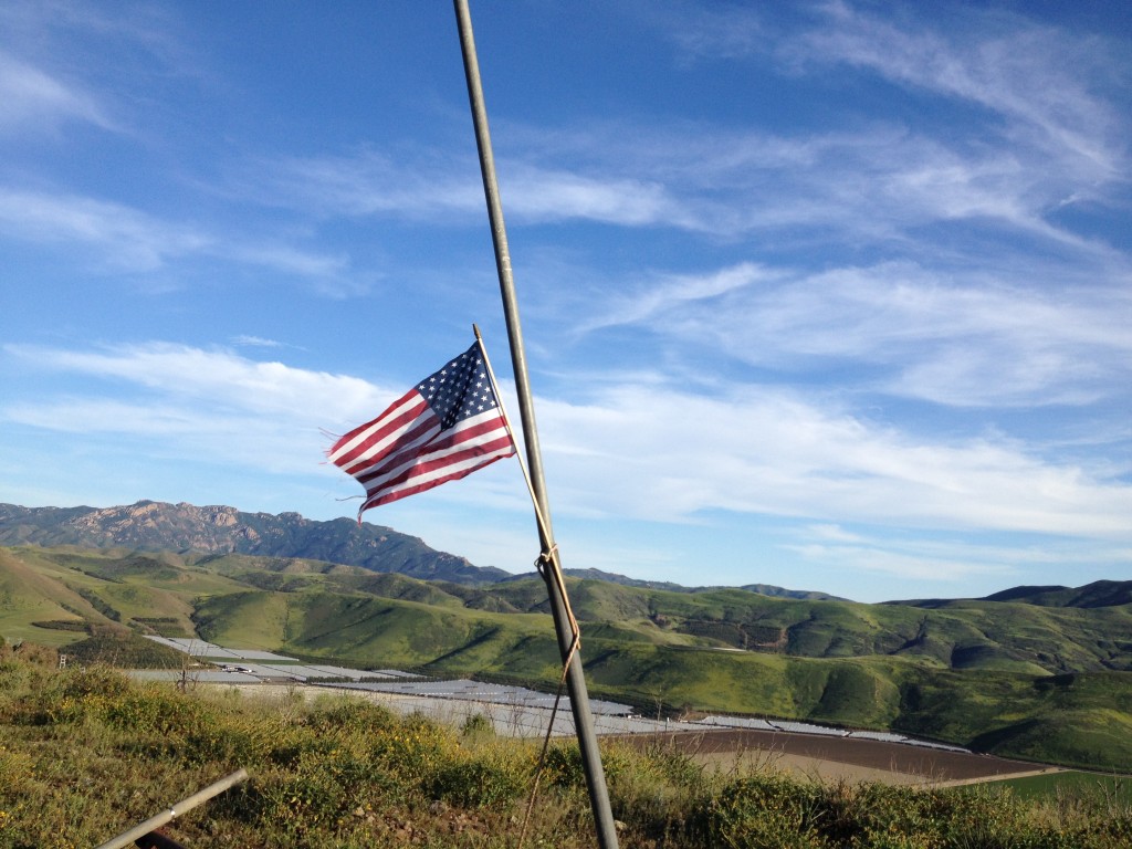
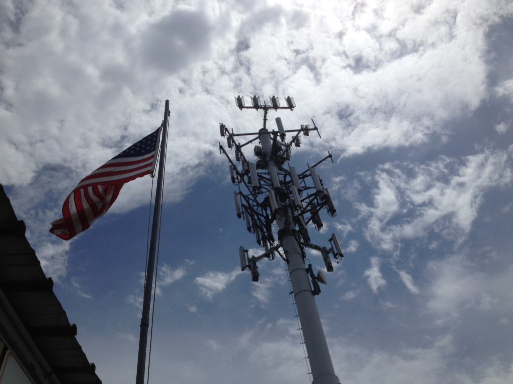
Bunker Flag
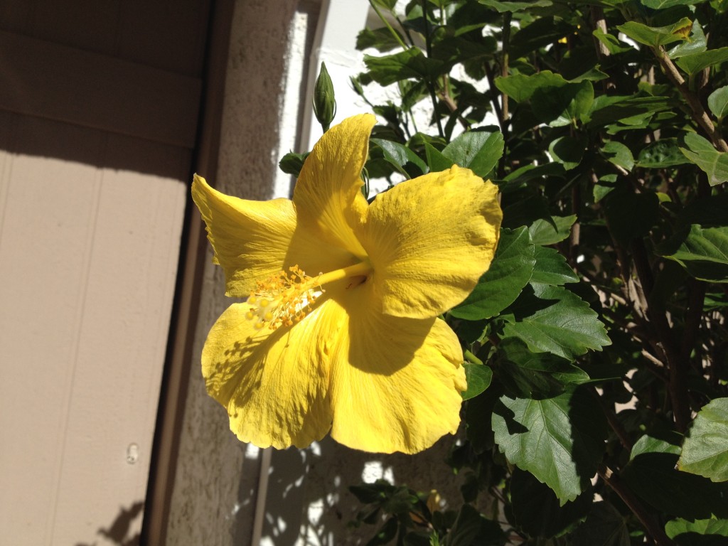
Yellow Hibiscus
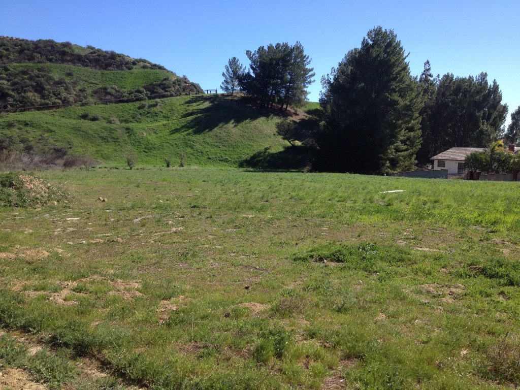
ET Film Site
Patriotic, Communicative Clouds
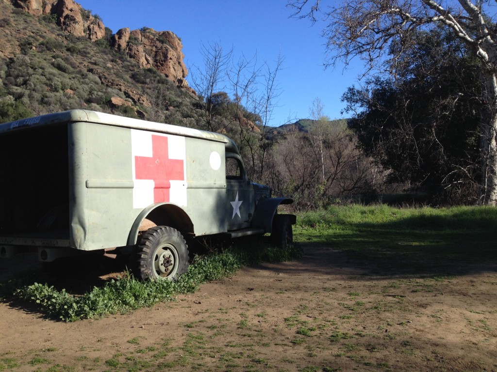
M*A*S*H Site Hike
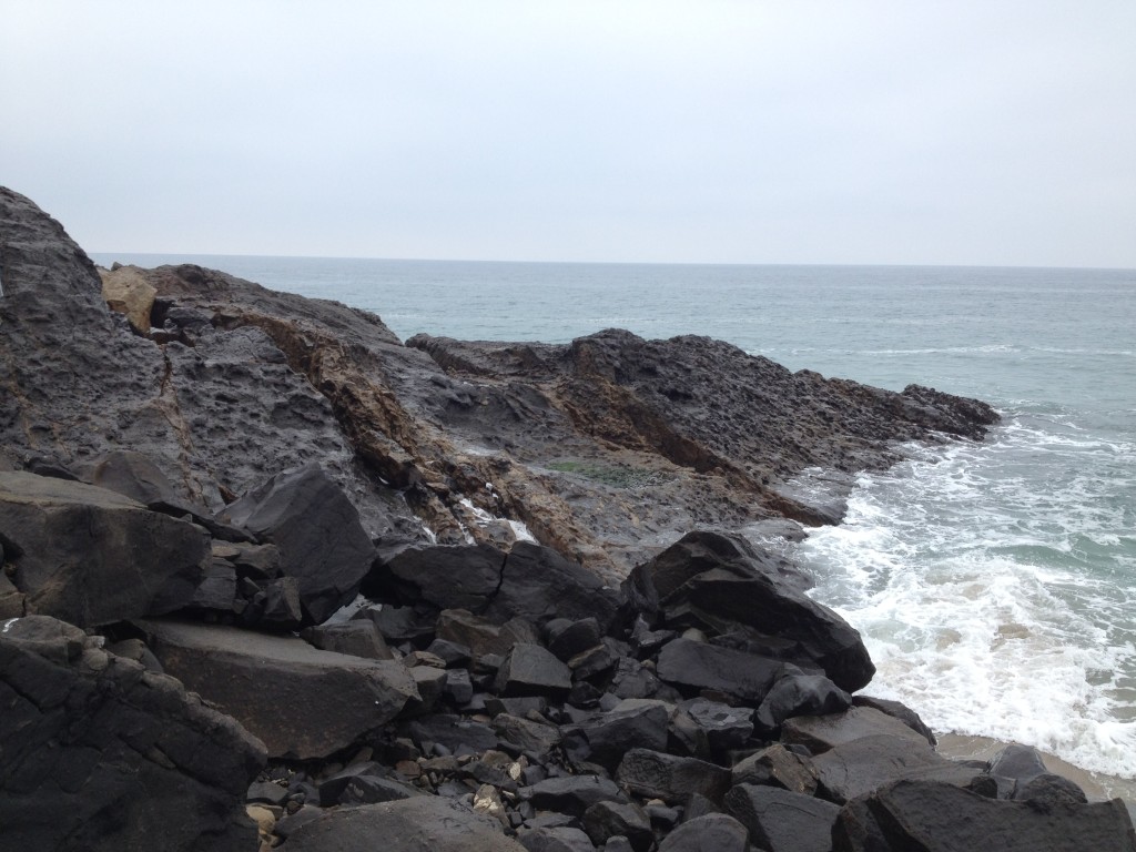
Point Mugu
Hikes
San Gabriels
- Mt. San Antonio via ski hut route (~8 miles rt)
- Pinecrest/Old toll road to Mt. Wilson, Idlehour, pass, and back (~19.69 hot grueling miles)
- Newcomb Pass and little hill to east from Sturtevant and back
- Sturtevant to Chantry via Lower Winter
- Hermit Falls (almost, got distracted up a hill)
- Mt. Zion from Chantry (sighted a black bear!), down via Upper Winter
- Jones Peak via Bailey Canyon
- Eaton Canyon Waterfall (very crowded)
- Hall/Beckley Canyon/Earl Canyon Motorway (not quite to Lukens fire road, but close) (deer and coyote sightings)
- Hall/Beckley Canyon to old water district cabin/garage
- Buckhorn Peak, Winston Ridge, Winston Peak
- Red Box to San Gabriel Peak and Mt Markham
- Upside-down start at Wilson down to West Fork, Devore, Rim Trail, and back up
- Mt. Wilson from Chantry Flat/loop (4200′ gain)
- Lukens rt from Shields canyon/Pinecone
Eastern Sierras
- Lone Pine Lake from Whitney Portal (trout, grouse)
- Methuselah Trail @ Ancient Bristlecone Pine Forest
Santa Monica Mountains
- Westlake overlook/Sentinel
- Yellow Hill/Leo Carrillo
- Zuma SB/Pt. Dume over the bluff through to Paradise Cove to restaurant. Sea lion colony with hungry pups.
- Zuma canyon trails
- Through Newton Canyon to Buzzard’s Roost (some orange-tipped white butterflies)
- Chumash Trail to Point Mugu direct to Point Mugu Loop and down
- Chumash Trail, down backside and loop around on the inner La Jolla Valley trail
- Ray Miller to fireroad through La Jolla down Chumash Trail
- Ray Miller out and back
- Sara Wan TH/Corral Canyon
- Calabasas Peak/Red Rock Canyon from Stunt Road
- Stunt Road to Saddle Peak
- Stunt Road to old Topanga fire lookout
- Parker Mesa from Trippet Ranch/Topanga State Park
- Hondo Canyon from Old Topanga Canyon to old Topanga fire lookout
- Dry Canyon/Frog Rock (lots of caterpillars)
- Encinal Canyon/Backbone
- Jim Morrison cave via @Piuma
- Dos Vientos from park, loop
- Dos Vientos > Edison Road > Volcano rocks
- Sycamore/Satwiwa meanderings/almost fossil/no name (pair of coyotes, woodpeckers, rust-colored newts, caterpillars)
- Satwiwa to Overlook Trail
- Satwiwa loop (California blackheaded snake)
- Angel Vista from Wendy
- Los Robles, undercut Space Mountain, from Moorpark Rd.
- Wendy TH to Conejo Peak and back
- Wendy to Fossil Trail (ground bees)
- Wendy to Boney (awesome rain, thunder, lighting at the top) (holly-leafed cherries) (rust colored-newt)
- Wendy to overlook rt, ~6 miles
- Newbury Park extinct volcano trail (California quail)
- Bushwhack Hidden Valley to Conejo Peak and back
- Sandstone TH to Balance Rock to Sandstone Peak via the loop
- De Anza trail in Calabasas (south side of 101)
- Peace, Love, Joy at Rancho Sierra Vista (Danielson Monument)
- Kanan to Latigo Canyon or was this Castro Peak
- Calabasas Peak
- Paramount Ranch/Reagan BBQ, Cage Trail, Century Lake (The big trees don’t look very healthy this year)
- King Gillette Ranch grounds walk
- King Gillette Inspiration Point, plus extension trails
- Peter Strauss Ranch short trails/grounds
- MASH site, Century Lake, Rock Pool via Grasslands Trail
Los Padres/Ojai
- Middle Matilija Camp (swimming ponds)
- Sulphur Mountain/Frog Pond
- Rose Valley/Nordoff fire road walk
- Chorro Grande to second camp
- Wild Wolves Preserve canyon walk to count tule elk (sighted 6)
Conservancy/Open Space
- Lynnmere to view of Wildwood/teepee and back
- Wildwood, over the bluffs to Shooting Star trail into Santa Rosa to trains, up Box Canyon
- Trailhead on Wildwood into Santa Rosa Valley, to trains, and back
- Wildwood to Paradise Falls back to teepee, Moonridge/Indian Cave
- Wildwood to KCLU cross and back
- Hill Canyon Fire Road via the heart attack route to above the waste water treatment plant
- Heart Attack/Heartbreak to Mesa Trail back to Lizard Rock down to WWTP, cross water at the sandbag fish weir, back on Hill Canyon Trail
- Heart Attack > Lizard Rock > WWTP > Skunk Hollow > Eagle point > Paradise Falls > back the easy way
- Wildwood over to Santa Rosa and back around via Box Canyon
- Hill Canyon Trail to Western Plateau/Five Points and down Hawk Canyon
- Hill Canyon > Western Plateau > Edison Fireroad overlooking the Conejo grade
- Hill Canyon to Western Plateau to KCLU transmitter, and back
- Conejo Canyons Bridge, bushwhack Hawkridge to that peak, Mount Minion (aka Ellison Mountain) and onto KCLU transmitter/down the Edison roads, above farms, and through cactus patch
- Hill Canyon > Ellison Mountain > ridge route to Mt. Rex > down adjacent to model planes place and Hawk Canyon
- Mt. Rex from Edison road parking
Simi Hills/Thousand Oaks
- Stagecoach Trail to Corriaganville (skunk)
- Santa Susana Pass State Historic Park on Larwin up and over Stagecoach Trail to Corriganville, and back
- Las Virgenes/Cheeseboro Ridge (gopher or some kind of non-rattler snake), part of the De Anza trail north of the 101
- Lang Ranch Trail to Meadow Vista to Albertson loop
- Albertson to China Flat view and back
- Albertson to Simi Peak, out and back
- Oakbrook Vista Trail out and back
- Las Llajas/Chivas (two ridges, a farm, and rattlesnakes)
- Sunset Hills past Bard Reservoir
- Long Canyon through Chumash to Elephant Rock (lotsa Poison Oak)
- Hummingbird Trail
- Chumash trail in Simi
- Palo Comado to China Flats to Simi Peak
- Cheeseboro to Palo Comado
- Dos Vientos
- Angel Vista via Wendy/Los Robles trail (stung by wasps, lol)
- Angel Vista/Los Robles West from Moorpark Rd and loop through suburb
- ET Park and film site roundabout Porter Ranch
Channel Islands
- Potato Harbor (Santa Cruz Island) (sea lions, dolphins, whale, fox)
