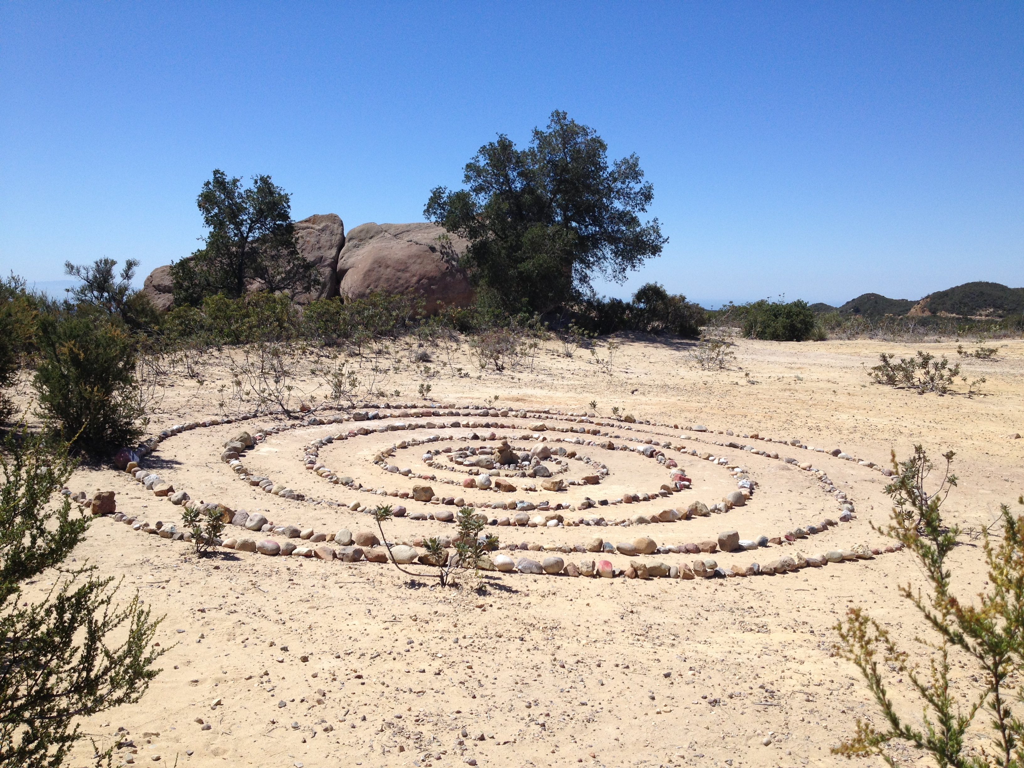
Zen Circle on the Way to Jim Morrison Cave
Zen Circle on the Way to Jim Morrison Cave
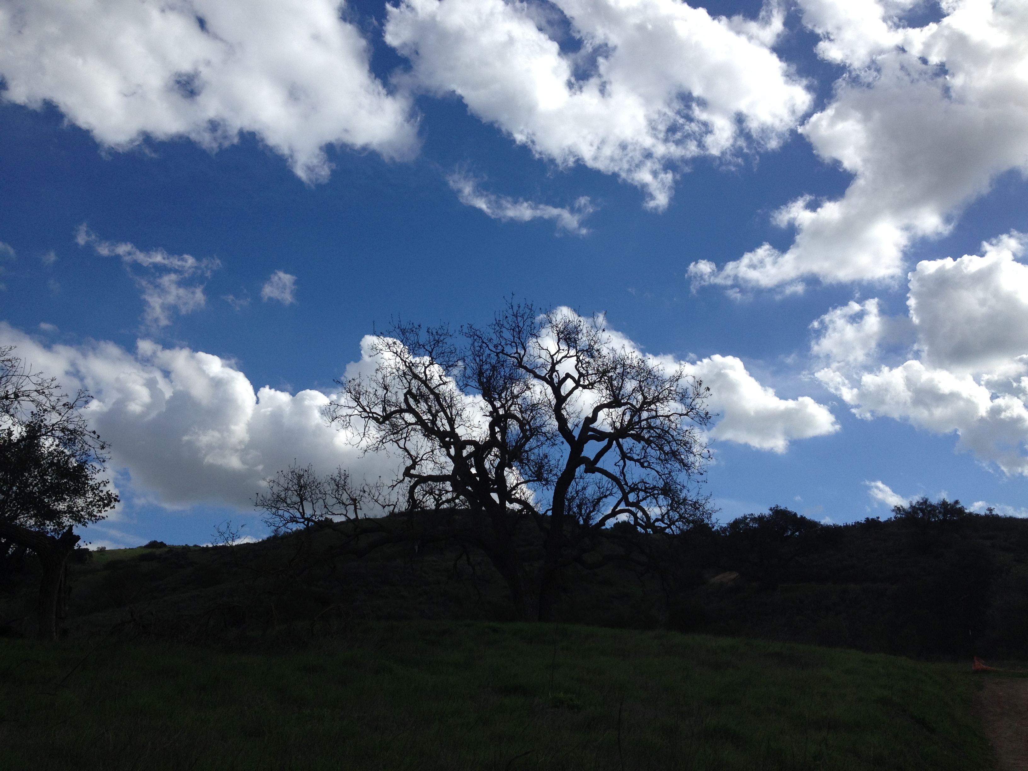
Landscape with Clouds
I think this was the Palo Comado Canyon trail.
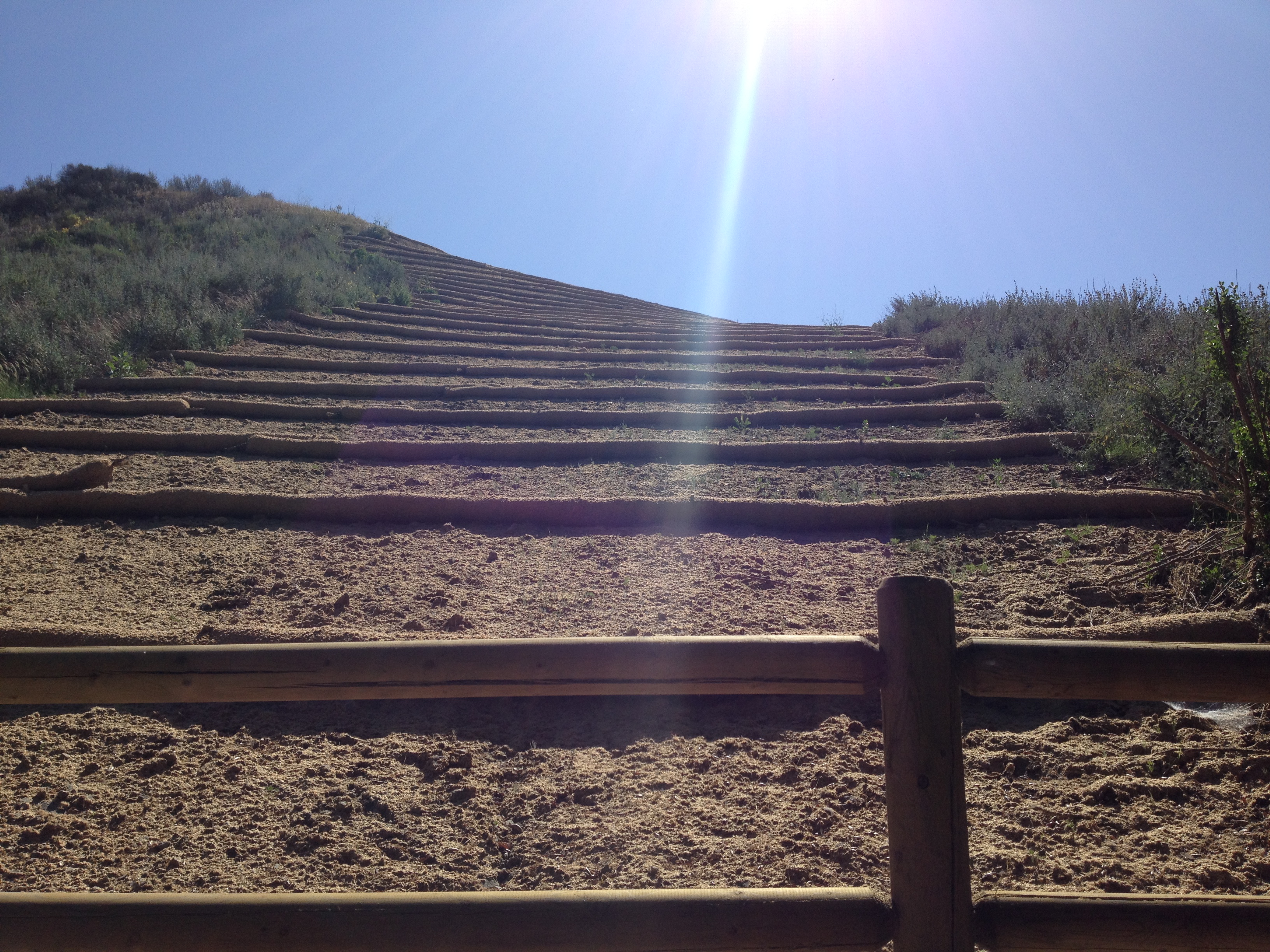
Restoration at Wildwood
This picture always reminds me of a song lyric from Pearl Jam, “Arms raised in a ‘V’.”
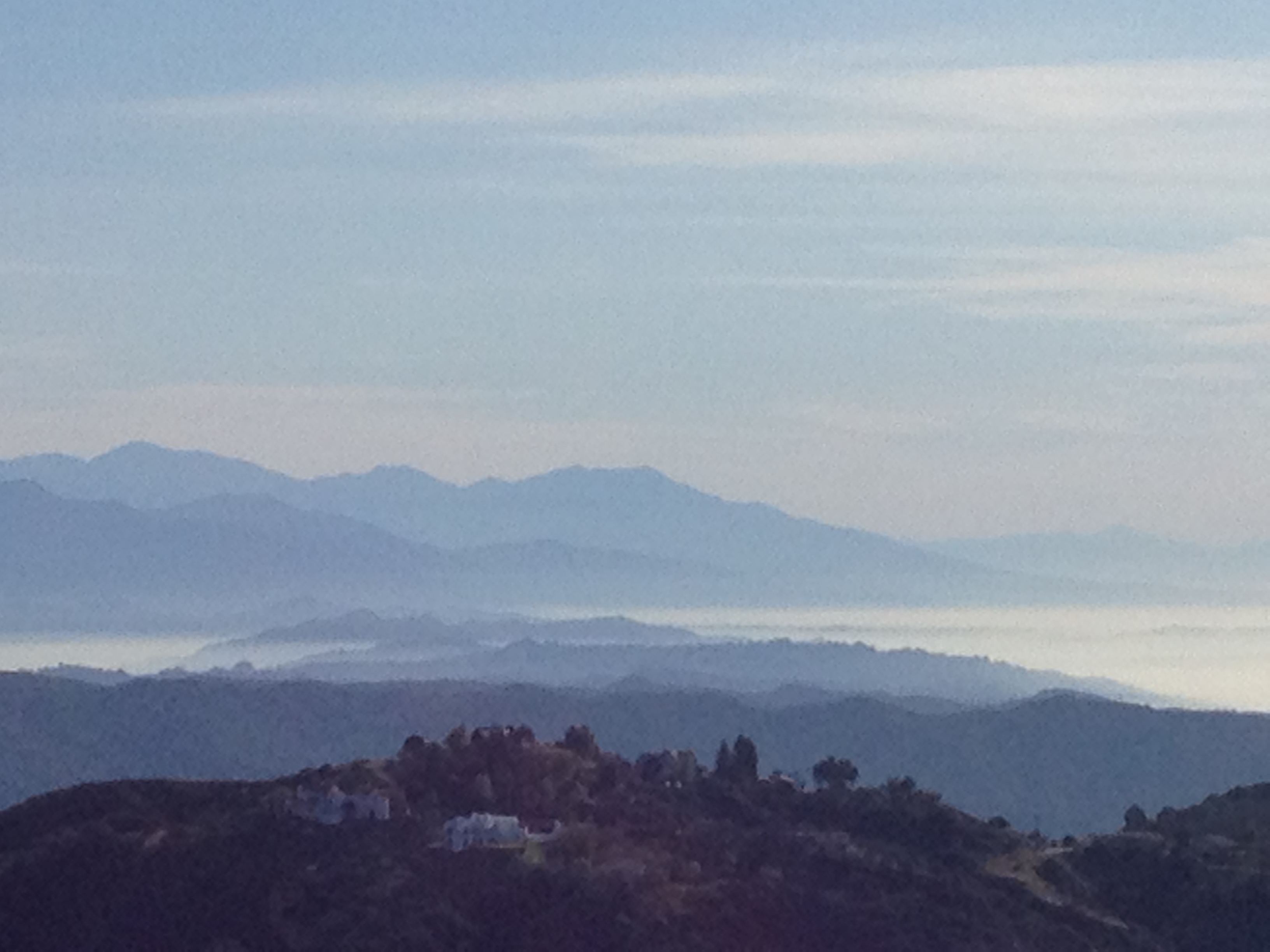
Foggy View from Saddle Peak

Mulhulland Hairpin
This picture doesn’t show it, but sport bikers buzz through this section of Mulhulland on Sundays. The view is from a gnarly scramble that starts with a 20-yard section of rope climb. The trail is a narrow, steep, and shifty scramble… alternating with rock climbing sections. Nasty! Good view, though.
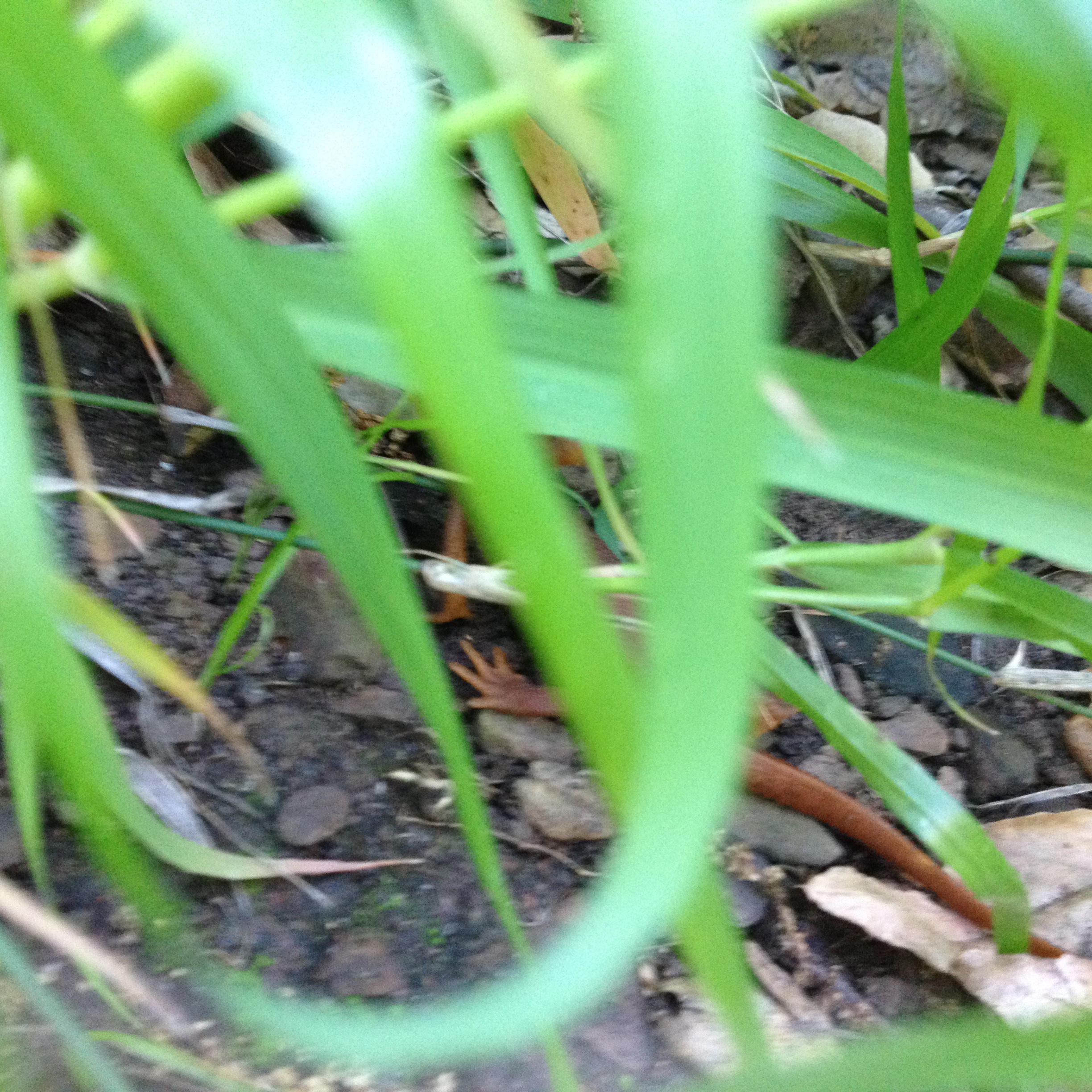
Rust-Colored Newt or Salamander
The critters moved too fast for me to get a good picture. They were a pair and I hadn’t seen these fauna before. The sighting was early 2015 in one of the trails out of the Satwiwa area.
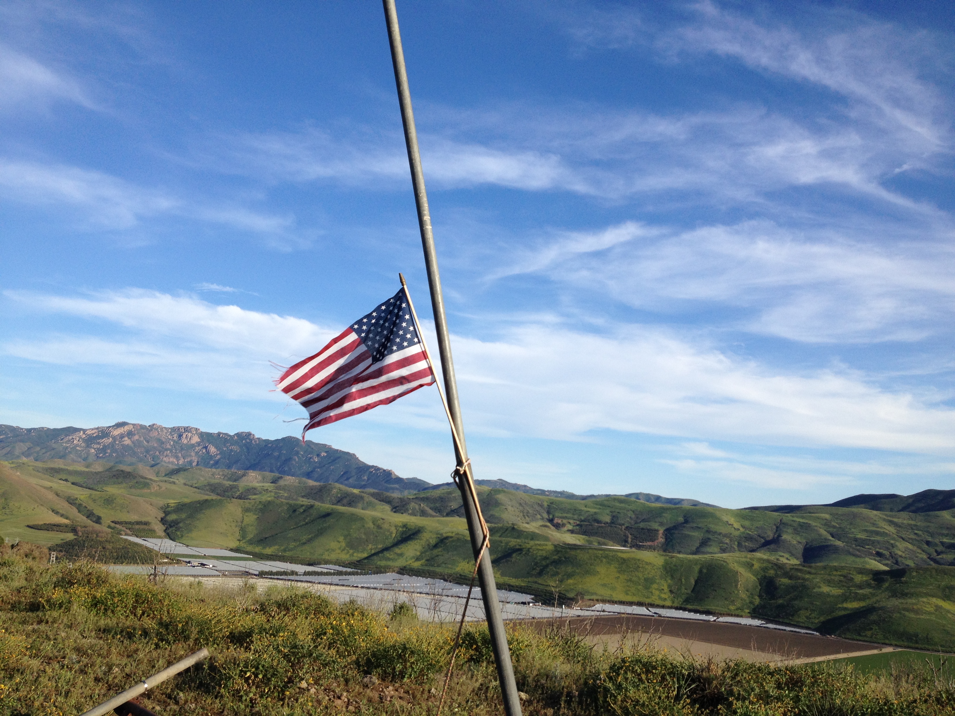
Hill Roundabouts Calleguas
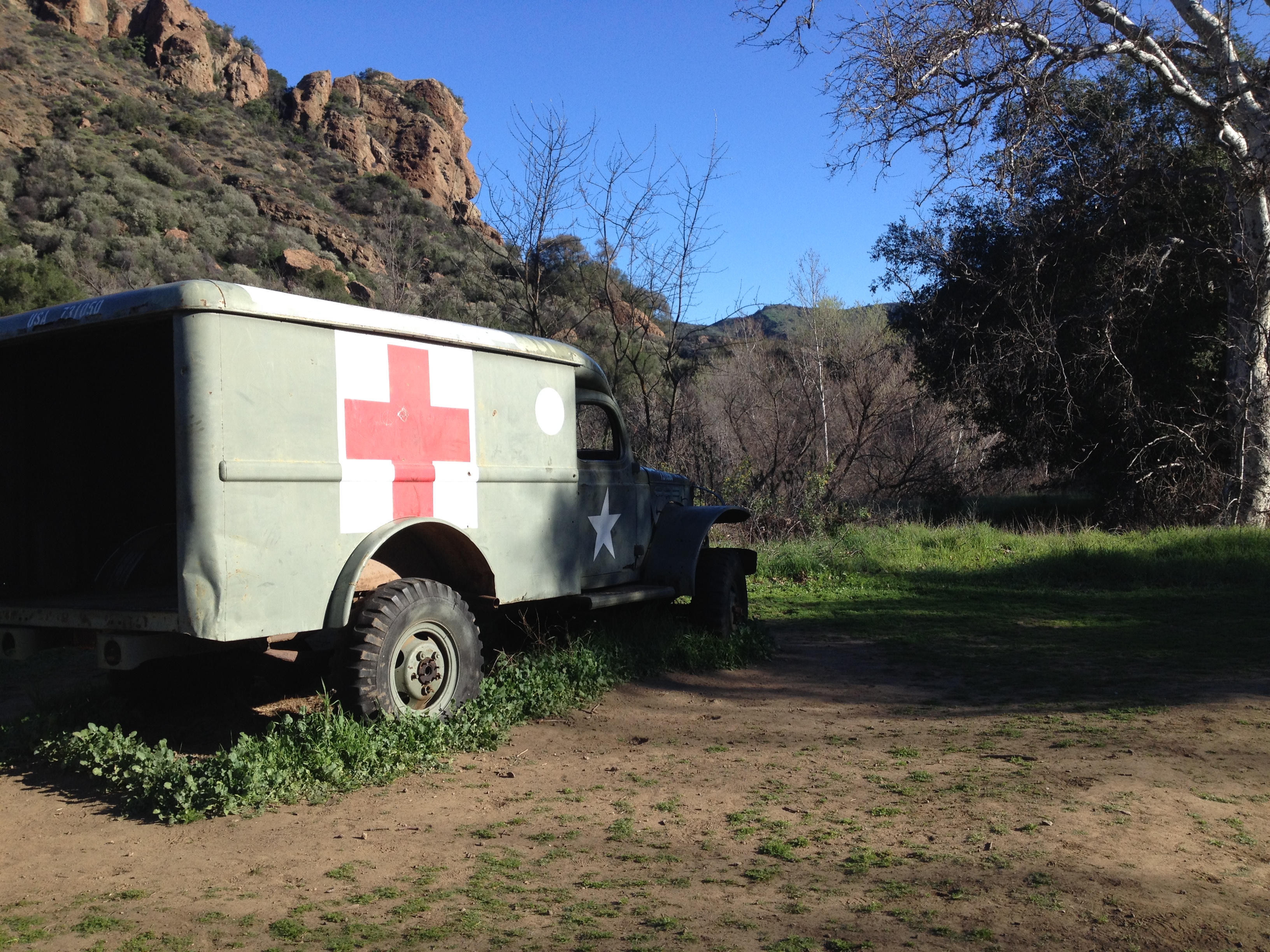
M*A*S*H Ambulance
Hike to the M*A*S*H site in Malibu Creek State Park.
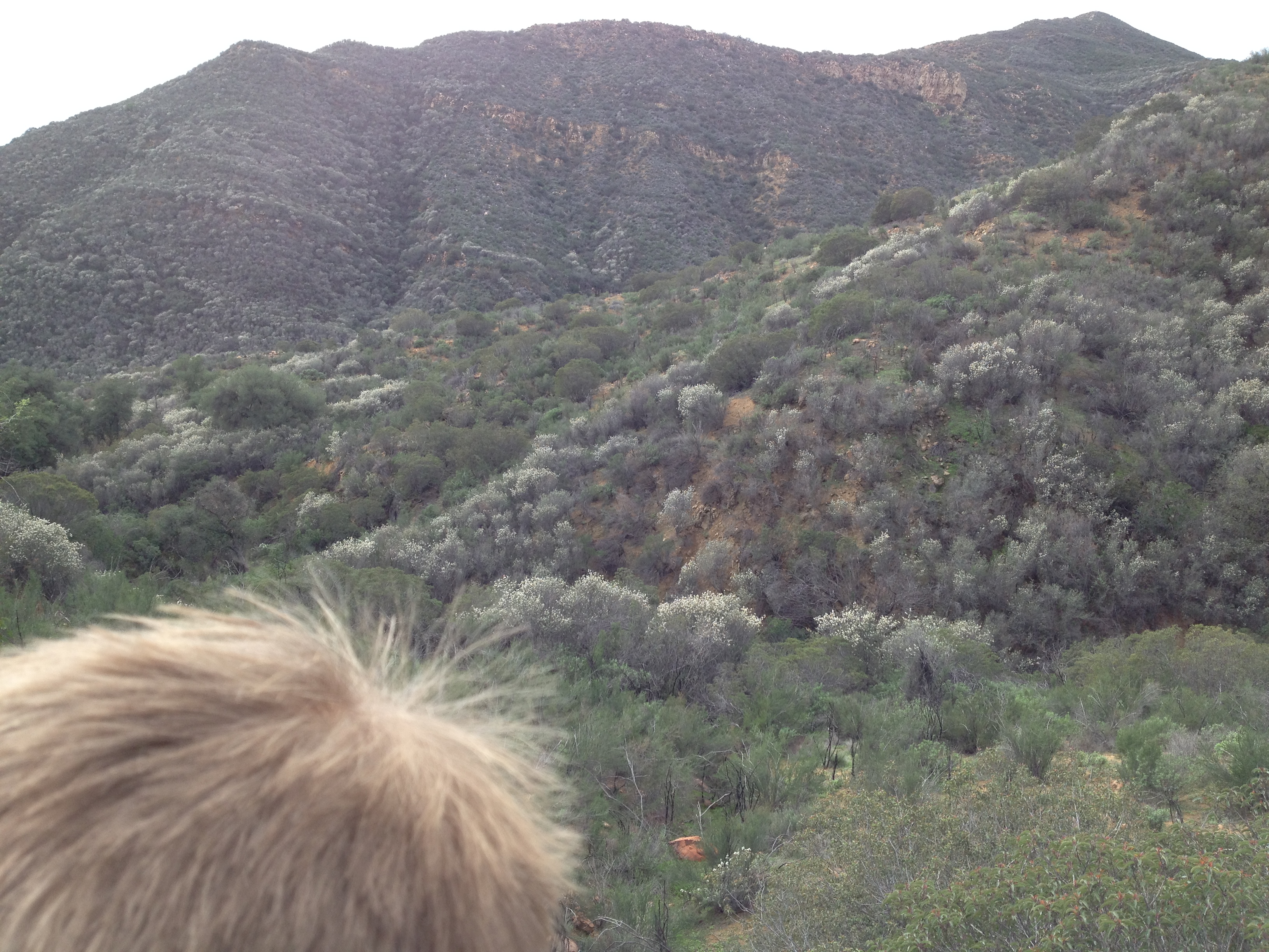
On the Way to Sheep Corral